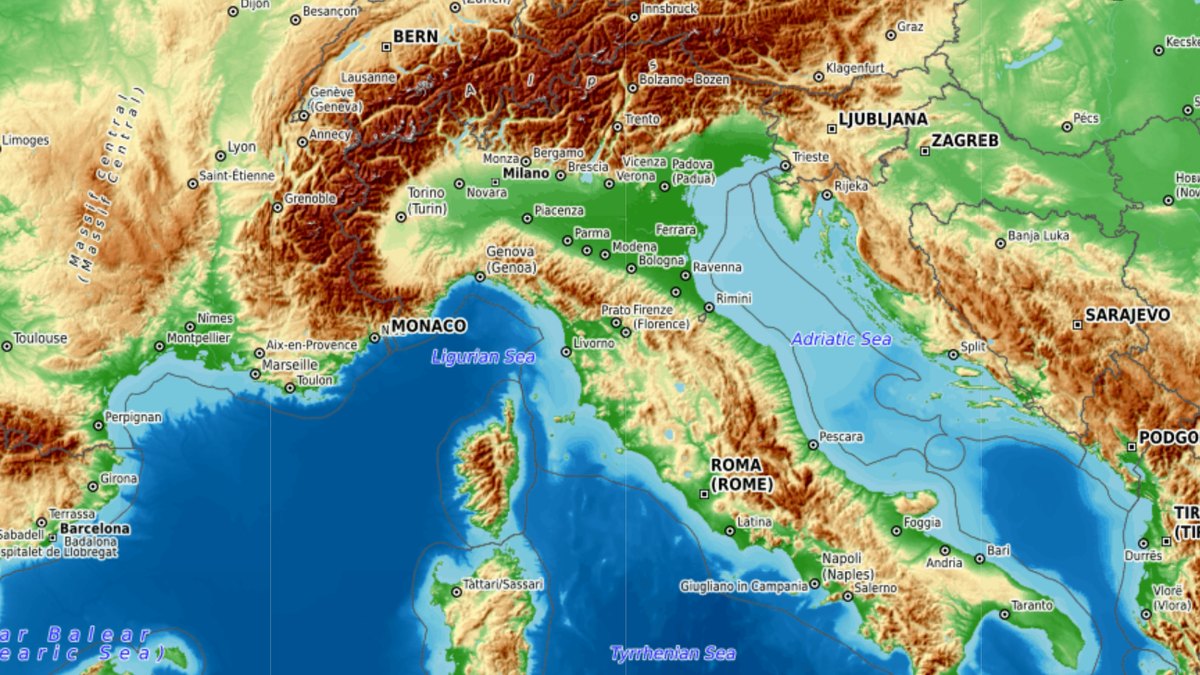
Explore maps
Get to know our different map styles through a range of examples and choose the best map as the default setting for your customers.

Top-O-Map provides high-quality topographic maps for apps and websites. In just a few steps, you can integrate different maps (topographic map, relief map and 3D map) in your application and give your users first-class map material. Want to use the map offline? Then you can also download the map, or parts of it, as a one-time purchase.
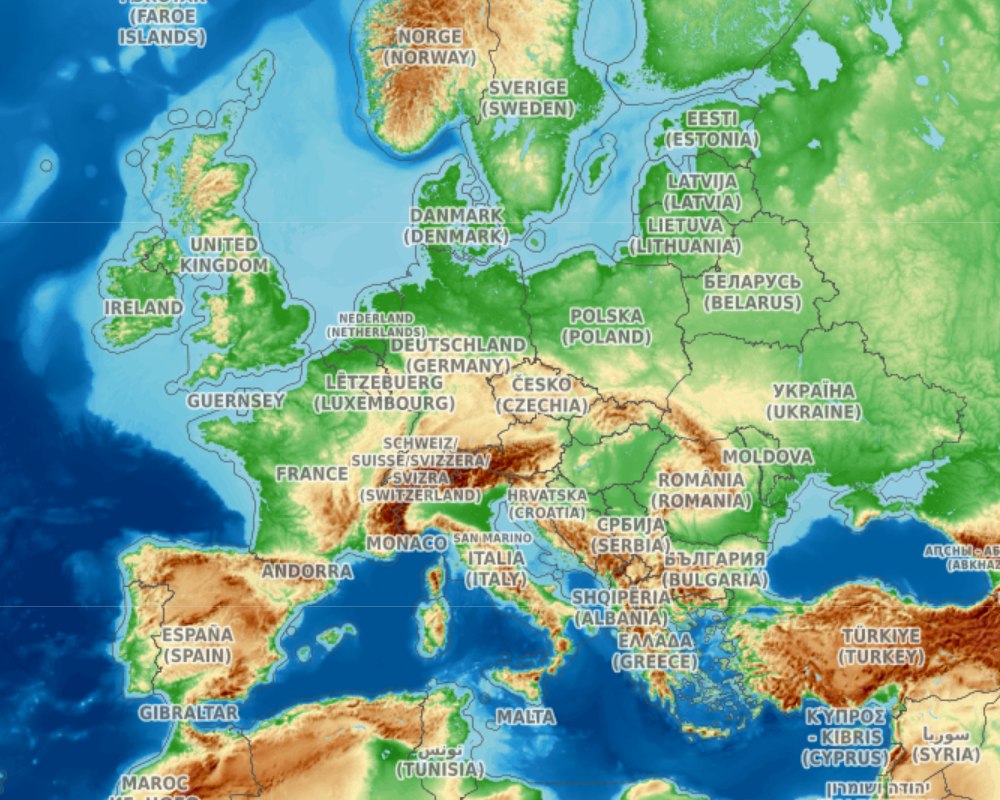
- Top-O-Map has made many improvements to the map
- Since early 2026, Top-O-Map has been serving the map tiles for OpenTopoMap
Looking to add a map to your website or app? Then Top-O-Map is the right solution for you. Top-O-Map is the modern map platform for companies, organizations and website owners who want to integrate high-quality topographic maps into websites, apps or other digital applications. You integrate our maps once – we take care of operation, regular map updates and ongoing technical development.
With Top-O-Map, you can not only integrate a high-quality topographic map with contour lines – we also offer a precise relief map of the terrain and a 3D view of the landscape. Integrating the maps takes just a few lines of code and only a few minutes of your time.
The best way to evaluate a map solution is to try it out yourself. Explore our topographic maps through examples or directly in your browser and discover detailed landscapes, contour lines, relief shading and many other map features – fast, intuitive and with nothing to install.
Get to know our different map styles through a range of examples and choose the best map as the default setting for your customers.
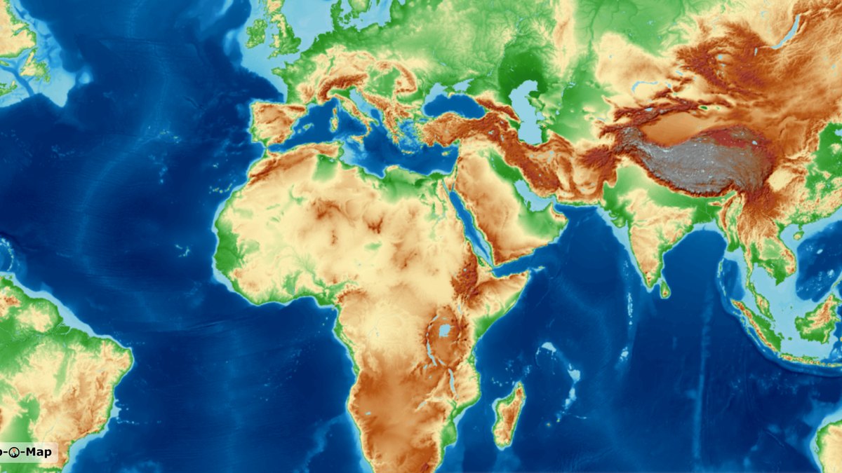
Try our worldwide maps directly in your browser at www.onlinetopomap.de. Explore every map style and every zoom level – for any region in the world.
Map data: © OpenStreetMap contributors | Elevation data: Copernicus, Sonny | Style based on: © OpenTopoMap | Provided by: Top-O-Map
The map tiles come from our own servers – no tracking or advertising cookies, no connection to Google Fonts, no third-party tracking or advertising services. We are open about exactly what is transmitted when a map loads.
Privacy & hosting in detail →We’re glad to hear it. Top-O-Map offers three options: free integration without registration, a usage quota with a subscription, and downloading the map as a one-time purchase.
No registration, no payment details, no cost – with Top-O-Map overlays (watermarks) on some of the map tiles.
Go to free integration →No overlays, a fixed tile quota from €3 a month – and no extra charges if your usage is ever higher.
Go to subscriptions →Download parts of the map, for example for offline use – as a one-time purchase, with no subscription and nothing to cancel.
Go to download →