Cycling & route planning
For cycling portals, route planners and tour platforms. Contour lines and terrain shading make it easier to judge routes and gradients.

Top-O-Map grew out of our love of cycling and of good maps – maps that show landscape, elevation and gradients clearly. That turned into a project of its own: we dug deep into the subject and started developing our own maps.
We are keen cyclists ourselves and wanted to plan our routes with a good overview of landscape, elevation and gradients.
That led us deeper and deeper into the world of digital maps, geodata and cartography, and we began developing our own maps. What started as a personal project is now Top-O-Map.
In addition to the classic topographic map, we have also developed a relief map and a 3D map. This lets you view landscapes and terrain from different perspectives.
Our key foundation is OpenStreetMap data, which we complement with other suitable data sources, including additional elevation data.
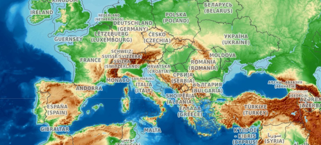
Top-O-Map was founded so that high-quality maps can be integrated into websites and apps quickly and easily. We take care of the technology, map delivery and map updates.
Our goal is to create high-quality, visually appealing maps that can be used for a wide range of purposes – private as well as commercial.
Whether for a hobby, a business or a professional application: if you are looking for high-quality worldwide maps for your website or app, we offer you a simple and reliable solution.
We combine high-quality, beautiful maps with simple technical integration at fair and transparent prices.
Technically sound, high-quality, clear, attractive and up-to-date maps.
Topographic maps as well as relief and 3D views.
Simple, hassle-free integration into websites, apps and other digital applications
– in just a few steps and without your own map server.
Fair and transparent prices with no hidden costs, and
a partnership-based approach to long-term collaboration.
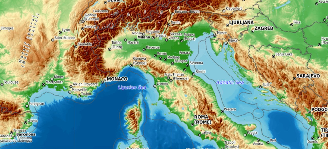
Top-O-Map is for anyone who wants to use high-quality topographic maps digitally or integrate them into their own websites, apps and applications.
Whether for a private hobby project, a commercial website, a mobile app or a professional digital application – Top-O-Map provides a high-quality map base for a wide range of requirements.
The possibilities are endless. Top-O-Map is particularly interesting wherever landscape, terrain, elevation data or spatial relationships need to be shown.
For cycling portals, route planners and tour platforms. Contour lines and terrain shading make it easier to judge routes and gradients.
Ideal for hiking portals, tour planners and outdoor apps with a detailed view of terrain, elevation changes and landscape.
For motorcycle portals, touring applications and route planners that want to present routes and landscapes clearly.
For showing landscapes, flying areas, launch sites and other geographic information in digital applications.
As a map base for flight simulators and applications that present geographic information and terrain clearly.
For tourism websites, destinations and regional portals that want to showcase sights, day trips, routes and landscapes.
For campsites, camping portals and outdoor providers to show locations, surroundings, landscape and places to visit.
As a high-quality map base for almost any website that wants to show locations, routes, landscapes or geographic information.
For mobile apps, web apps and custom applications that need high-quality topographic maps as their map base.
For showing properties, plots of land, locations and their geographic surroundings on a clear map base.
For nature projects, environmental applications, research and other projects where terrain and geographic relationships need to be made visible.
Have a completely different application in mind? Top-O-Map works as a flexible map base for custom projects and new digital ideas.
Your use case isn’t listed? No problem. If you are looking for a high-quality, worldwide topographic map base for your website, app or digital application, just get in touch.
We are continuously working to improve the map rendering, add new features and expand the ways our maps can be used and integrated into websites and apps. And of course we update the maps regularly, so they always show the latest data.
We update the OSM data daily. Last update: 30 October 2026
Our goal remains the same: making high-quality maps as easy to access as possible.
We’re delighted if you like our maps. You can help us make Top-O-Map better known – for example, by telling your friends about it or mentioning it in forums.
And of course we’d love to hear your feedback at feedback@top-o-map.com. Suggestions for improvements are always welcome, too.
If you like, you can support us financially on a voluntary basis via Ko-fi. We’d really appreciate it.
Support us on Ko-fiThe best way to evaluate a map solution is to try it out yourself. Explore our topographic maps through examples or directly in your browser and discover detailed landscapes, contour lines, relief shading and many other map features – fast, intuitive and with nothing to install.
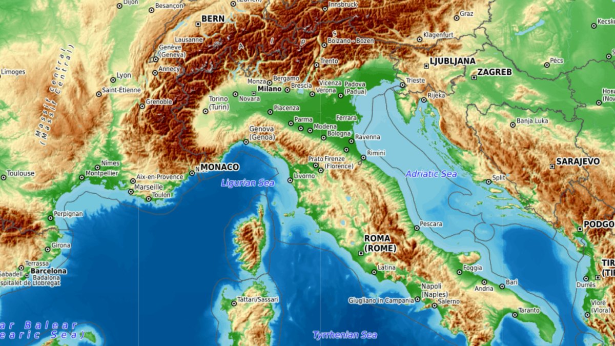
Get to know our different map styles through a range of examples and choose the best map as the default setting for your customers.
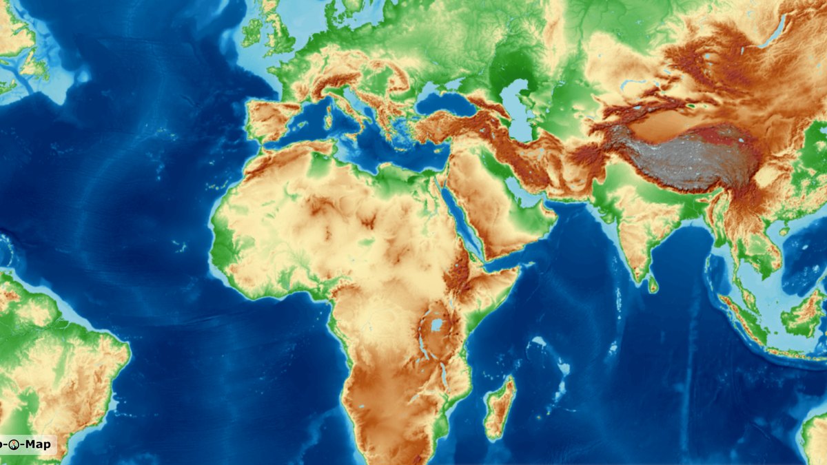
Try our worldwide maps directly in your browser at www.onlinetopomap.de. Explore every map style and every zoom level – for any region in the world.
Map data: © OpenStreetMap contributors | Elevation data: Copernicus, Sonny | Style based on: © OpenTopoMap | Provided by: Top-O-Map
We’re glad to hear it. Top-O-Map offers three options: free integration without registration, a usage quota with a subscription, and downloading the map as a one-time purchase.
No registration, no payment details, no cost – with Top-O-Map overlays on some of the map tiles.
Go to free integration →No overlays, a fixed tile quota from €3 a month – and no extra charges if your usage is ever higher.
Go to subscriptions →Download the map or parts of it, for example for offline use – as a one-time purchase, with no subscription and nothing to cancel.
Go to download →